I thought I would do a retrospective of the last 29 days. I was actually, as I was riding, able to remember each place I have stayed. So, here is each day, and one word (at least I'll try) to describe it.
San Diego to Lakeside: Excited!
Lakeside to Mt. Laguna: Exhausting
Mt. Laguna to Oak Grove: Yummy
Oak Grove to Idyllwild: Hikers
Idyllwild to Yucaipa: Strange
Yucaipa to Heart Bar: Over-Estimating
Heart Bar to Silverwood Lake: Braking
Silverwood Lake to Islip Saddle: Peaceful
Islip Saddle to Palmdale: Speedy
Palmdale to Brite Lake: Windy!
Brite Lake to Pioneer Point: Progress
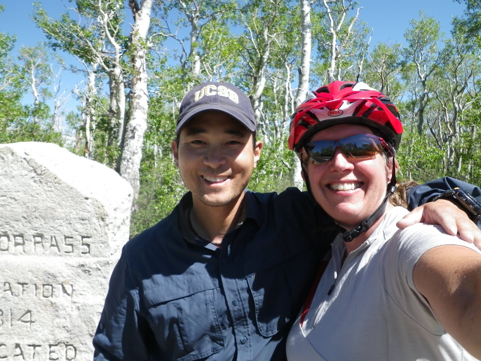
Pioneer Point to Redwood Meadow: Sean
Redwood Meadow to Lake Kaweah: Snakes!
Lake Kaweah to Lodgepole: Slovenians
Lodgepole to Grant Grove: Downhill
Grant Grove to Pine Flat Lake: Frustration
Pine Flat to Bass Lake: Friends
Bass Lake to Yosemite: Spectacular
Day off in Yosemite: Tourist
Yosemite to Jamestown: Boiling
Jamestown to Dardenelle: Jessica
Dardenelle to Markleeville: Thankful
Markleeville to Lake Tahoe: Beautiful
Lake Tahoe to Cold Creek: Bike Paths
Cold Creek to Quincy: Shannon
Quincy to Lake Almanor: Bruce
Lake Almanor to Old Station: Cave
Old Station to McArthur Burney Falls: Easy
McArthur Burney Falls to Mt. Shasta: Rain
Mt. Shasta to Ashland: Oregon!
The previous blogs can elaborate each day.

The ride in general, was nothing special. Just a bunch of rollers and two moderate climbs. As I was getting to the top of Snowman Hill (no snow here), it started to rain again so I put my jacket and helmet cover back on.
I'm now in Mt. Shasta at the library where there is free Wi-Fi. I've been to the grocery store and next is the KOA since none of my couch requests panned out. Of course, I'm still a day ahead, but, oh well, camping has been pretty cheap the last four nights ($0 and $3).
Since I am a day ahead, I think I will, for sure, take the day off in Ashland.

Yep, after 27 days, it finally rained. It really didn't rain a whole lot, but enough to warrant me pulling out my rain gear. I had heard there was a 70% chance of rain today. I thought I would try a couple of insurance policies so that it wouldn't rain, but neither worked. First I put my rain gear on the top in the pannier. Then, I didn't put sunscreen on. I guess it was a good idea I put the rain gear on top, and I sure didn't need any sunscreen!
Fortunately, today was a short day. Not the shortest in miles, but definitely the shortest in time (and the highest average speed so far of 13.8 mph--in fact, I think that is my highest ever touring average speed!). I got to Burney-McCarther State Park at 11:05. I even started out the day by doing a 2 mile hike on the Spatter Cone Trail, 1 1/2 miles south (as in back the other direction) of Old Station where I camped last night!
The trail was a pretty cool geological site. It is part of the whole lava flow and lava tube system like the Subway Cave I went through yesterday. There is not a cave to go into, but there were several small lava tubes. I was the only one on the trail (of course, it was only 8:00 when I got there).
Then I got on the road for the mostly downhill 31 miles to the park. It stopped raining when I set up my tent and didn't really rain anymore. Shortly after I got my tent set up a hiker named Eric (trail name--Robocop--retired sheriff's deputy) came into the H/B camp. He has been hiking various parts of the PCT (the PCT crosses through the park). After we both got our camps set up, we walked to the camp store and got snacks, then went and took showers (as usual--"the BEST shower EVER!"). Then, we walked down the "Pioneer Cemetery Trail" to the cemetery. First we didn't think there was actually a cemetery, but finally we came to the dead people. There was a list of the people buried there, but we didn't see that many graves.
After some more food, we walked to the Burney Falls. It is a pretty spectacular falls (okay, not as awesome as Yosemite, but still pretty cool). We walked down to the bottom and back up.
Earlier and then later as well, a gal came by the camp the was doing support for some hikers. Turns out she is from Chelan! Such a small world!
Speaking of small worlds, way back on June 4th, at San Jacinto State Park in Idyllwild, I met three hikers hiking with a 14 month old girl. Eric has met them too! It's just so weird! They are walking and I am biking, yet we see the same people!
Well, it looks as if the sun may come out again tomorrow. This was a perfect day for a short ride. I have enjoyed my time here with Eric. Tomorrow it's on to Mt. Shasta.


Overall, today's detour was really quite easy. Not much climbing and the temps were moderate. In fact, I am now a day ahead since I didn't go over Lassen.


Again, the morning was a little chilly, but I was in the sun long enough to be warm. The ride was mostly flat with a few little climbs, another easy day.
I stopped in the little town of Greenville for my 10:00 snack. As I was climbing toward Canyondam, a guy was coming down the other side. He stopped and crossed over to my side of the road and rode with me for awhile until we stopped at a wide spot. He said something about the road over Lassen being closed. I said, " Wait, I'm supposed to go to Lassen tomorrow!". So we stopped to look at the map. He told me of a detour route if Lassen was indeed closed. Then he asked where I was staying for the night. I told him the campground I was headed to. He said I could stay with him and then I could still do the detour if necessary. Since he was headed toward Greenville, he gave me his address and directions and said he would see me there. I continued riding to Canyondam where I could find out for sure if Lassen was closed or not. When I got to Canyondam (after meeting another gal and riding with her as far as Canyondam), I met another touring cyclist, John, who had just come from the detour route because Lassen is closed. So, now I knew for sure. Okay, detour number two coming up.
I pulled over on 147 at a Vista Point to take photos of Lake Almanor and the dam. Along comes Bruce, the guy who I was going to stay with. We rode together the rest of the way to his place. He has a nice place on the lake. We went swimming and then I had a sandwich.
I have my detour route all planned. It will actually be less climbing than going up to Lassen, but I pretty much miss the National Park all together.
I also looked to see if the rim is open at Crater Lake. Turns out the West Rim is open, so I shouldn't have any problems there.
Flexibility is key (that, and running into the right people at the right time)!


Another annoyance is hot feet. The other day, when I came upon a snow bank that hadn't melted yet, I took off my sandals and stood in the snow to cool off my feet. I also put some snow into my socks. Yesterday, as I crossed the Little Truckee River, I spied some rocks that I could sit on and dangle my feet in the river. Ahhhhh....that felt good.
Then there is the ultimate annoyance...the flies! I realize I am probably quite the attraction considering, even if I have had a shower, it was the night before and I am likely very sweaty. Still, they drive me crazy!
What about snakes, you ask? Well, snakes go beyond just an annoyance. Annoyances are just that, annoying things. Snakes, on the other hand, scare the bee-jeesus out of me (dead or alive)!


Once I got onto the flat (WHAT? No mountain?), I warmed up pretty quickly. I had several miles of just gently rolling, but mostly, flat road. It was all in the sun and quite nice! These are the times when "Morning Colleen" (I'll explain later) is in the house! As I started the first little climb, I saw a guy and two dogs cross the road ahead of me. Then I heard them...the sheep that is. In the trees on the right side of the road there was a large flock of sheep grazing and baaing. As I rode past the guy and the dogs, I said, "And, you Sir, must be the shepherd!". He nodded and waved.
As I was continuing up the summit with no name (even says, "un-named summit" on my map), I noticed I was getting bit by Mosquitos. I stopped and put on my insect shield bandana, but that only kept them away from my face. Finally, I stopped and dug out my bug spray and spritzed my arms and legs. When I reached the summit, I christened it, "Mosquito Summit".
The rest of the ride was pretty easy. Outside of Graeagle, I came upon three cyclists changing a flat tire. Of course I stopped. They asked to use my pump as the one they were using was very small. Turns out they had done Sierra Cascades from San Diego to Lake Tahoe. They were a few days ahead of me. Now they were just doing day rides then going in a car.
When I got into Quincy, I stopped to map out where my Couch Surf Host's house was. It's just right off the route about two blocks. Shannon is not even here, but he is letting me stay! I got here about 12:45 (like I said, easy day of 52 miles). I've showered and done laundry (the first time I've actually done laundry in a washer and dryer on this trip). Stella is parked in the back porch. It's very nice here and I will add Shannon to my list of Super Heros!
I decided to stay at a different campground than I had planned. Cottonwood Campground was where I was going to stay, but instead I am at Cold Creek. Cottonwood was $21 and Cold Creek is $13 (although, if you ask me, $13 is a bit much for a campground that has no potable water!). I was afraid I would get to Cottonwood and, since it is Friday, they would be full. Turns out that was not the case (the campground host is also the host for Cottonwood), but still I saved $8.
In this small, 13 site campground I've met two couples. One is Patricia and Stefan from Zurich, Switzerland. They have rented an RV. Since there is no water here (except the creek) I asked Patricia if I could have a water bottle full of not hot water (I boiled a liter for cooking, but I didn't want to drink hot water). She said it was no problem. Thanks Patricia!
The other couple are also in an RV. The guy developed Power Bar and has worked with the Clif Bar people too. He said I should call Clif Bar and tell them about my trip. Hmmm...perhaps I will!
24 down--24 to go!!!
Sent from my iPad


I had a bit more downhill, then a couple of little ups to the junction where I turned to head up today's climb of Luther Pass. It was the only big climb for today! About 8 miles and less than 3000 ft of elevation gain. Piece of cake! Except for the wind. At one point, before the climb really started, I was in Super Granny gear, pedaling hard and going 3.5 mph. I looked up and realized I was actually going downhill! Geez! Could I have a little less wind? At one point the wind forced me into the shoulder. I happened to be across the road from some road workers. When I had to stop to get back on the road, I yelled, "Uggggg!". I'm sure the workers got a kick out of that.
At the turn to continue up to Luther on Hwy 89, the wind relented a little and I was able to enjoy the not so difficult climb. I reached the summit shortly after (at 10:45--Woo Hoo!). On the way down, there was road construction. A pilot car was taking the traffic through the construction. I always ask the flagger where they want me. The guy said I could go wherever I wanted because I would be able to keep up. He was right. I even had to brake. After the construction, the road was pretty straight so I just let Stella go. I reached my highest speed so far on this trip of 48.7 mph!
Now I am at a Starbucks in South Lake Tahoe. I need to find a grocery store as I have no more dinners and only two days of breakfast left. Then I will head to D.L. Bliss State Park where there is supposed to be a Hiker/Biker site.
Sent from my iPad